Floodplain catchment: Johnstons Creek
This plan identifies and examines options for the management of flooding within the Johnstons Creek catchment.
Published
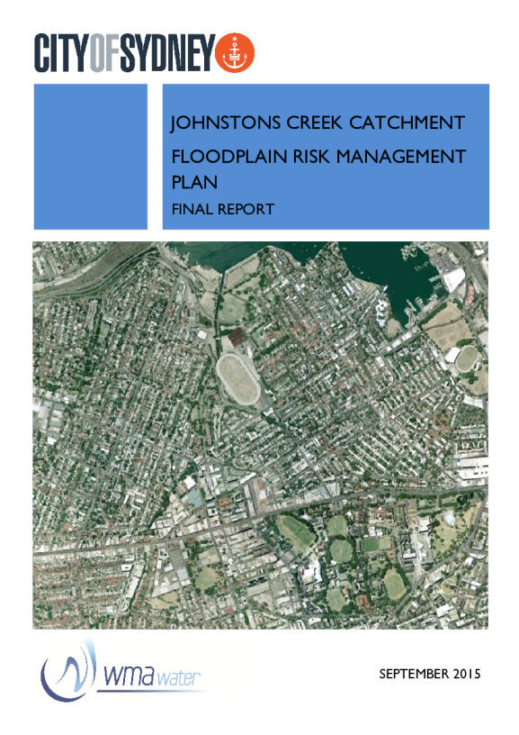
The Johnstons Creek Catchment area includes Annandale, Camperdown, Forest Lodge and parts of Glebe and Newtown.
The overall area is approximately 224 hectares and the land uses are a mix of residential, commercial, industrial and parklands.
Johnstons Creek catchment floodplain risk management planPDF · 10.47 MB · Last modified
Johnstons Creek catchment floodplain risk management study: part 1PDF · 9.42 MB · Last modified
Johnstons Creek catchment floodplain risk management study: part 2PDF · 12.6 MB · Last modified
Johnstons Creek catchment floodplain risk management study: part 3PDF · 11.48 MB · Last modified
Johnstons Creek catchment floodplain risk management study: part 4PDF · 15.44 MB · Last modified
Johnstons Creek catchment flood study: part 1PDF · 9.98 MB · Last modified
Johnstons Creek catchment flood study: part 2PDF · 9.59 MB · Last modified