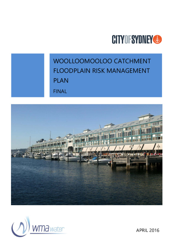
Floodplain catchment: Woolloomooloo
This plan identifies and examines options for the management of flooding within the Woolloomooloo catchment.
Published

Woolloomooloo, Darlinghurst, Kings Cross, Potts Point and parts of Rushcutters Bay are suburbs included in this catchment, which covers an area of about 265 hectares.
Woolloomooloo catchment floodplain risk management planPDF · 6.07 MB · Last modified
Woolloomooloo catchment floodplain risk management study: part 1 of 4PDF · 8.37 MB · Last modified
Woolloomooloo catchment floodplain risk management study: part 2 of 4PDF · 18 MB · Last modified
Woolloomooloo catchment floodplain risk management study: part 3 of 4PDF · 16.69 MB · Last modified
Woolloomooloo catchment floodplain risk management study: part 4 of 4PDF · 9.03 MB · Last modified
Woolloomooloo catchment flood study: part 1 of 2PDF · 14.54 MB · Last modified
Woolloomooloo catchment flood study: part 2 of 2PDF · 14.31 MB · Last modified

